

Home : Lunedale Maps
Lunedale Maps
Use Google Maps UK to see both mapping and satellite images of the area.

Ordnance Survey Get-a-map
An extract of the current Ordnance Survey map of the area showing Lunedale is reproduced below.
See extracts of the 1854 map showing details of the area now beneath Selset and Grassholme Reservoirs.
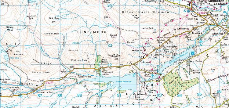
Reproduced from Ordnance Survey map data by permission of Ordnance Survey, © Crown copyright.
Ordnance Survey Get-a-map
